
Welcome to Pleasantview!
State Motto: Ken-Terra ir Ken-Ka (Ashkay: The Land is the Life)
I made a quick map so that you can see the population spread as well as the shameless gerrymandering division of districts. Unfortunately, the map is way too big to fit in the site template so it is liked below. Only main roads are displayed. Lines are drawn with my mouse because I am lazy. Sorry about that one.
District Map
District Map
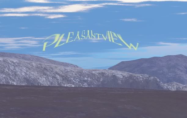
Apart from the map, the shot looks like Greenland. I know it's not, nothing like it, but it just sort of reminded me of Greenland. I love it.
ReplyDeleteYeah! I found this cool application that generates landscapes and I have been fooling around with it. If I get good enough, I'll make more Pleasantview images.
ReplyDeleteHere is a link to the program.